Which Part of Thane West Is Ghodbunder Road?
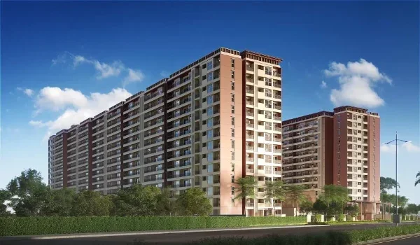
Featured Image of Which Part of Thane West Is Ghodbunder Road?


Ghodbunder Road forms the northern and north-western belt of Thane West. It starts at Kapurbawdi on the Eastern Express Highway and runs north past Patlipada, Manpada and Kasarvadavali. Near Gaimukh, it turns west and ends at Ghodbunder village, on the Western Express Highway near Mira-Bhayandar.

Along the way, the Yeoor hills rise on one side, while the Ulhas creek runs on the other. This mix of hills, water and townships has made it one of Thane's most sought-after home corridors. Below, you will find its route, main stretches, landmarks and links.

Ghodbunder Road at a Glance


The table below sums up the key facts about the road, so you see the full picture quickly.

Detail Information
Official name Maharashtra State Highway 42 (SH-42)
Length About 14 km as per state highway records
Starting point Kapurbawdi junction on the Eastern Express Highway, Thane
End point Ghodbunder village, meeting the Western Express Highway
Part of the city Northern and north-western Thane West
Main pin codes 400607 and 400615
Metro Metro Line 4 runs along the corridor
Nearby nature Yeoor hills of Sanjay Gandhi National Park and Ulhas creek

Where Ghodbunder Road Sits on the Map


If you picture Thane West as a triangle, Ghodbunder Road runs along its upper edge. The road first heads north from Kapurbawdi, close to Majiwada and the Viviana Mall stretch. It then bends west in the far north of Thane city and leaves the city limits near Gaimukh.

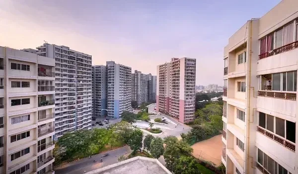
On the inner side lies the green wall of the Yeoor hills, part of Sanjay Gandhi National Park. On the outer side lies the Ulhas creek, which separates Thane from Bhiwandi. So the road sits in a long, narrow belt between the hills and the water. That is why so many townships here enjoy open views.
The Three Stretches of Ghodbunder Road


Locals and property buyers often split the road into three parts. Each part has its own feel, price range and level of growth. Knowing the difference helps before you shortlist homes.
Stretch Main Localities What It Is Like
Lower Ghodbunder Road Kapurbawdi, Majiwada, Patlipada, Hiranandani Estate, Kolshet Closest to Thane station and the highways, most developed
Middle Ghodbunder Road Manpada, Dongripada, Waghbil, Anand Nagar Large gated projects, schools and daily markets
Upper Ghodbunder Road Kasarvadavali, Owale, Gaimukh, Ghodbunder village Newer townships, more open land and hill views

The lower stretch sits closest to jobs in Thane, the Eastern Express Highway and Thane railway station. The upper stretch offers more space and quieter surroundings, but longer drives into the city.

Why It Is Called Ghodbunder


The name comes from two Marathi words, where "ghode" means horse and "bunder" means port. Centuries ago, traders brought Persian and Arab horses to a small port on the creek here. The place was first known as Ghodegaon, or horse village.

Around the time of Chhatrapati Shivaji, the name changed to Ghodbunder after the port. Ghodbunder Fort, built by the Portuguese in the 1500s, still stands near the western end of the road.

How Ghodbunder Road Connects to the Rest of Mumbai


The road works as a key link between eastern and western Mumbai. Here are the main connections that shape daily travel:

  • The Eastern Express Highway at Kapurbawdi leads to Mulund, Ghatkopar and South Mumbai.
  • The Western Express Highway at Ghodbunder village leads to Mira Road, Borivali and Andheri.
  • Metro Line 4 runs along the corridor and will link Thane with Wadala in phases.
  • The Thane-Borivali Twin Tunnel aims to cut the trip to the western suburbs to about 15 minutes.
  • Thane railway station sits about 20 minutes away from the lower and middle stretches.

The state has also planned to widen the road to ease traffic. The work has faced some delays over shifting utilities.

Key Landmarks Along the Corridor


The road and its nearby belt hold many of Thane's best-known addresses and services. Some of the names you will see often include:

  • Hiranandani Estate, one of Thane's largest planned townships
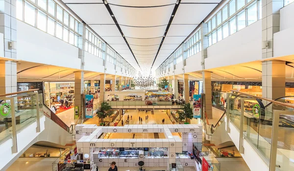
  • R Mall and Viviana Mall for shopping and entertainment
  • Jupiter Hospital and other speciality hospitals near the corridor
  • CP Goenka International School and several other schools along the road

This mix of homes, shops, schools and hospitals makes the area feel self-contained for families. Most daily needs sit within a short drive, whichever stretch you choose.

Where Prestige Falcon City Thane Fits In


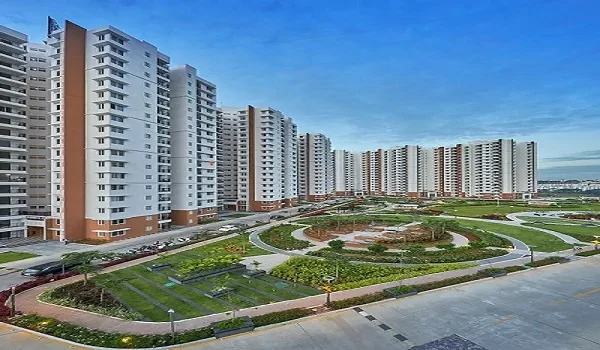
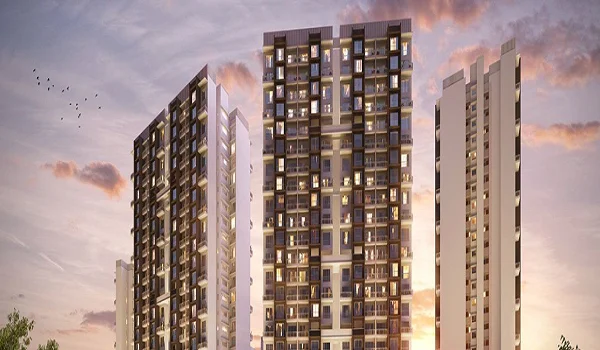
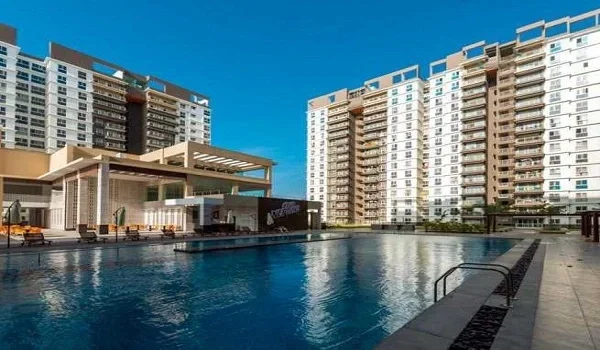
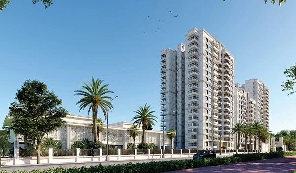
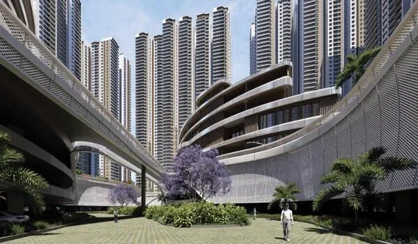
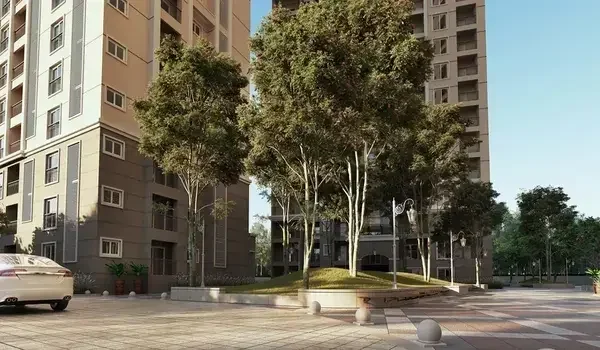
Prestige Falcon City Thane sits near Kolshet-Balkum Road, in the lower Ghodbunder belt close to Kapurbawdi. This spot gives you quick access to both the start of Ghodbunder Road and the Eastern Express Highway. So you get the green setting of the corridor without the longer drive that upper stretch homes face.

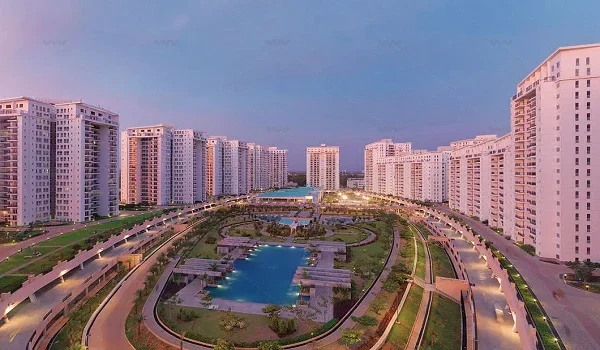
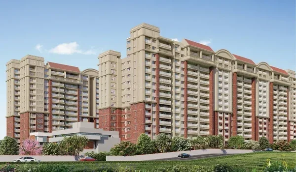
The township plans nine towers on about 15 acres, with 6 acres of green zones. You can read more about travel times on the location page. Current rates sit on the Prestige Falcon City Thane price page.

Which Stretch Suits You Best?


Your daily routine should decide which part of the road you pick. Here is a simple way to match each stretch to your needs:

  • If you work in Thane or Mulund, the lower stretch keeps your daily commute short.
  • If you want big gated projects near schools and markets, the middle stretch fits well.
  • If you prefer open land, hill views and newer homes, the upper stretch gives you more space.
  • For trips to Borivali or Andheri, the lower and middle stretches gain most from the Twin Tunnel.

For many families, the lower belt near Kapurbawdi and Kolshet offers the best mix of access and greenery. Prestige Falcon City Thane falls in this belt, which suits buyers who travel to work every day.

Things to Know Before Living on Ghodbunder Road


Like any growing corridor, the road has clear strengths and a few issues to plan around:

  • Peak-hour traffic can be heavy, so homes near the lower stretch save more commute time each day.
  • Metro Line 4 and road widening should ease travel over the next few years.
  • Hill views and open land make the area cooler and greener than central Thane in summer.
  • Property rates vary by stretch, with the lower belt often priced higher.

FAQs


1. Which part of Thane West is Ghodbunder Road?

Ghodbunder Road forms the northern and north-western belt of Thane West. It runs from Kapurbawdi on the Eastern Express Highway to Ghodbunder village on the Western Express Highway.

2. Where does Ghodbunder Road start and end?

It starts at the Kapurbawdi junction in Thane and ends at Ghodbunder village near Mira-Bhayandar. The official route is about 14 km long as per state highway records.

3. What is the pin code of Ghodbunder Road?

The main pin codes along Ghodbunder Road are 400607 and 400615. The exact code depends on the locality, such as Patlipada, Kolshet or Kasarvadavali.

4. Is Kolshet part of Ghodbunder Road?

Kolshet sits in the lower Ghodbunder belt, near Kapurbawdi and Balkum. State highway records list Kolshet among the areas along the corridor.

5. Which Metro line serves Ghodbunder Road?

Metro Line 4 runs along the corridor and will link Thane with Wadala. Its first stretch, from Gaimukh to Cadbury Junction, is moving towards opening in phases.

6. Is Ghodbunder Road a good place to live?

Yes, it offers large townships, green surroundings, schools, hospitals and malls. Peak-hour traffic is the main drawback, which new metro and road projects aim to ease.

Prestige Falcon City Thane Blog


Enquiry
Enquire Now